
The FEMA & Flood Elevation Survey Process
Floodplain-related projects require a combination of research, field measurements, and regulatory coordination. Austin Engineering follows a systematic approach designed to provide accurate and defensible results.
The process begins with reviewing available floodplain information, including FEMA Flood Insurance Rate Maps (FIRMs), local floodplain regulations, and applicable development requirements.
This research helps identify:
- Flood zone classifications
- Base Flood Elevations (BFEs)
- Regulatory floodway boundaries
- Local permitting requirements
- Existing floodplain documentation
Understanding these factors early helps establish the survey scope and project objectives.
Survey crews collect precise elevation data using professional surveying equipment and established measurement procedures.
Measurements may include:
- Existing ground elevations
- Building floor elevations
- Finished floor elevations
- Adjacent grade elevations
- Utility elevations
- Site improvement elevations
Accurate field measurements are critical because even minor elevation differences can influence floodplain determinations and insurance requirements.
Collected survey information is analyzed against FEMA mapping, benchmark data, and regulatory criteria.
During this stage, surveyors evaluate how site elevations relate to floodplain boundaries and flood elevations. This analysis helps determine whether structures meet applicable requirements and identifies potential development constraints.
Following analysis, surveyors prepare the documentation required for the project.
Depending on the assignment, deliverables may include:
- Elevation Certificates
- Floodplain exhibits
- Site elevation mapping
- Regulatory support documentation
- Development permit support materials
- FEMA-related submission documents
What's Included in FEMA & Flood Elevation Survey Services?
Flood-related survey services vary depending on the property’s location, intended use, and regulatory requirements.
Each project is tailored to meet the specific requirements of the property, regulatory agency, lender, or development team.
Austin Engineering’s FEMA & Flood Elevation Survey services may include:
- Elevation Certificates
- Floodplain boundary identification
- Base Flood Elevation verification
- Existing structure elevation surveys
- Site development elevation analysis
- FEMA map interpretation support
- Flood insurance documentation support
- Permit support exhibits
- Benchmark establishment
- Topographic elevation data collection
- Development planning support within flood-prone areas
What Impacts Cost & Timeline?
Several factors can influence the complexity and duration of a FEMA & Flood Elevation Survey.
Property Location
Sites located within mapped floodplains or near rivers, streams, and drainage systems often require additional analysis and documentation.
Existing Site Conditions
The number of structures, terrain variations, accessibility challenges, and existing improvements can affect fieldwork requirements.
Regulatory Requirements
Different jurisdictions may have unique floodplain regulations, permitting procedures, or documentation requirements that influence project scope.
Documentation Needs
Some projects require only an Elevation Certificate, while others involve extensive floodplain analysis and development support.
Available Records
Access to previous surveys, benchmark information, construction plans, and floodplain documentation can affect both schedule and research requirements.
Proper project evaluation at the outset helps establish realistic expectations and avoid delays.
Relevant Project & Client Use Cases
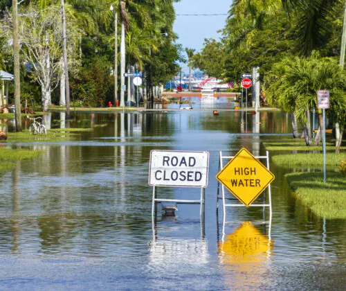
FEMA & Flood Elevation Surveys support a wide range of property and development needs.
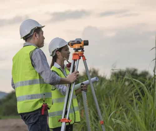
Commercial Property Development
Developers often require elevation information to determine whether proposed improvements comply with floodplain regulations and site development requirements.
Building Expansions and Facility Improvements
Property owners planning additions, renovations, or major site modifications may need elevation documentation before permits can be issued.
Flood Insurance Requirements
Lenders, insurers, and property owners frequently request Elevation Certificates to support insurance determinations and risk assessments.
Municipal and Infrastructure Projects
Public agencies often rely on flood elevation data when designing roads, utilities, drainage systems, and public facilities.
Property Transactions and Due Diligence
Buyers and investors may seek floodplain information before purchasing property to better understand development limitations and potential liabilities.
Service Across Peoria & Davenport
Austin Engineering provides FEMA & Flood Elevation Survey services throughout Central Illinois and Eastern Iowa from our offices in Peoria and Davenport.
Peoria, IL — Corporate Headquarters
311 SW Water Street, Suite 215
Peoria, IL 61602
(309) 315-3643
Davenport, IA — Branch Office
220 Emerson Place, Suite 101-A
Davenport, IA 52801
(563) 207-4605
Our team understands the floodplain challenges associated with rivers, waterways, urban drainage systems, and development corridors throughout the region.
Trust Austin Engineering for FEMA & Flood Elevation Surveys?
- Austin Engineering has supported land development and infrastructure projects since 1937. We provide survey information that helps clients navigate complex site conditions and regulatory requirements.
- Floodplain decisions often depend on small elevation differences. Our surveyors use proven methods and professional equipment to produce reliable measurements.
- Floodplain compliance is rarely an isolated issue. We understand how elevation data affects permitting, site design, construction planning, and property transactions.
- Our surveyors regularly coordinate with developers, municipalities, engineers, architects, lenders, and property owners. This ensures we support efficient project delivery.
Ready to Move Your Survey Forward?
Floodplain regulations, insurance requirements, and development decisions all depend on accurate elevation data. Austin Engineering provides the survey expertise needed to help property owners, developers, municipalities, and design teams move forward with confidence.
Contact Austin Engineering today to discuss your FEMA & Flood Elevation Survey needs and request a consultation with our surveying professionals.
Frequently Asked Questions
A FEMA flood elevation survey measures site and structure elevations to determine how a property relates to FEMA floodplain maps and regulatory flood elevations.
An Elevation Certificate is a FEMA-related document that reports important elevation information used for flood insurance, permitting, and compliance purposes.
Not always. Requirements vary based on the property, lender, insurer, and local regulations. A survey professional can help determine what documentation may be needed.
Yes. Accurate elevation information helps developers identify floodplain constraints, evaluate site feasibility, and support permitting efforts before construction begins.
Professional flood elevation surveys use precise surveying equipment and established measurement procedures to provide highly accurate elevation data for regulatory and development purposes.
How This Service Fits Into Your Land Surveying Plan
FEMA & Flood Elevation Surveys are often one component of a larger land development or property evaluation strategy. Depending on project goals, clients may also benefit from:
- Property Boundary Surveys
- ALTA & NSPS Land Title Surveys
- Construction Documents & Support
- Topographic Surveys
- Construction Layout Surveys
As part of Austin Engineering’s broader Land Surveying services, flood elevation surveys provide critical information that supports risk management, permitting, compliance, and informed development decisions.